Aerial Mapping
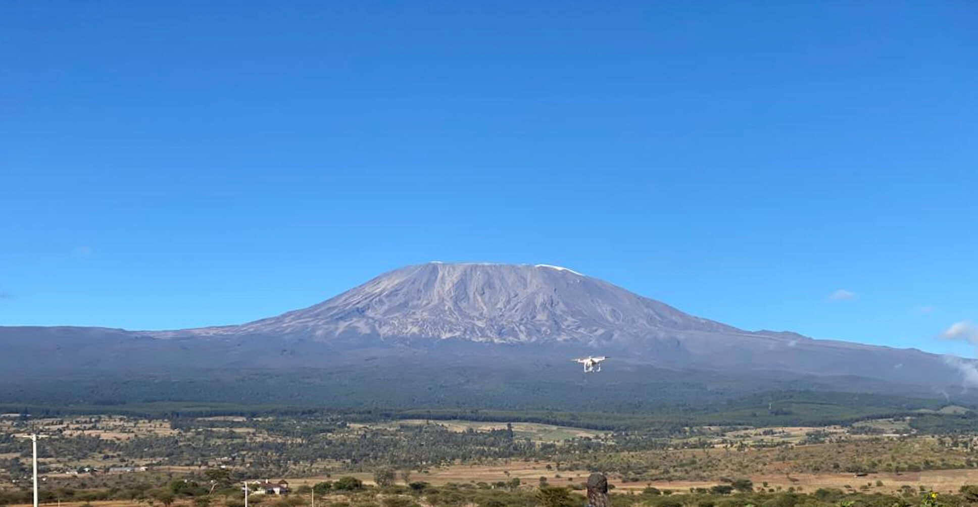
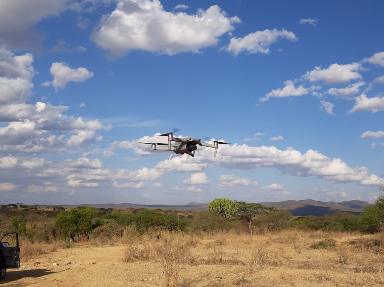
Drone aerial mapping is a transformative technology that leverages the power of unmanned aerial vehicles (UAVs) to capture high-resolution aerial images and data. This technology is revolutionizing industries by providing accurate, efficient, and cost-effective mapping solutions. Here are some key benefits and applications of drone aerial mapping:
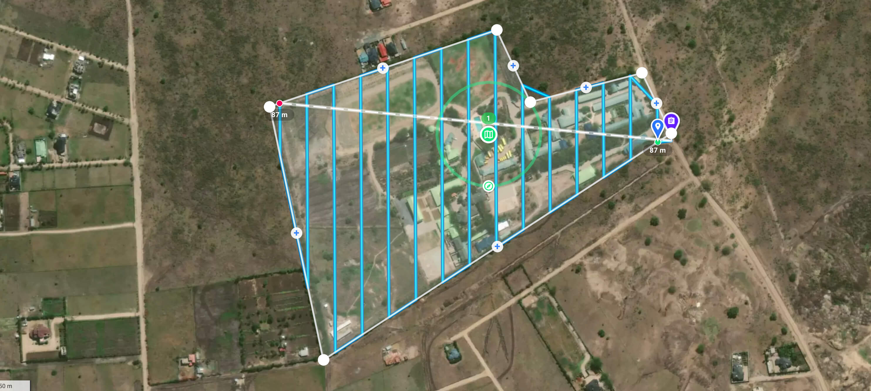
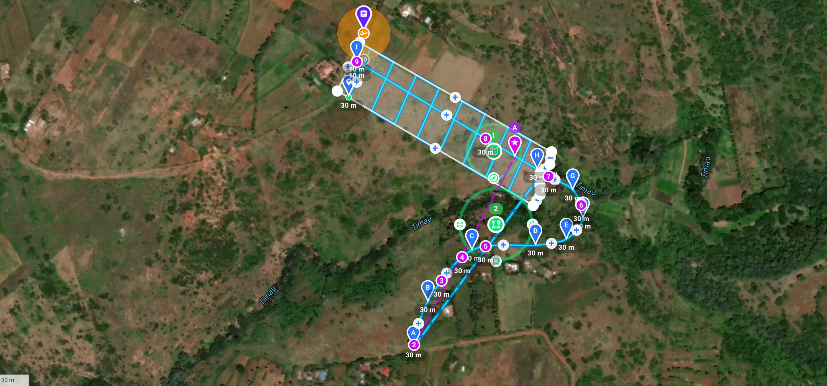
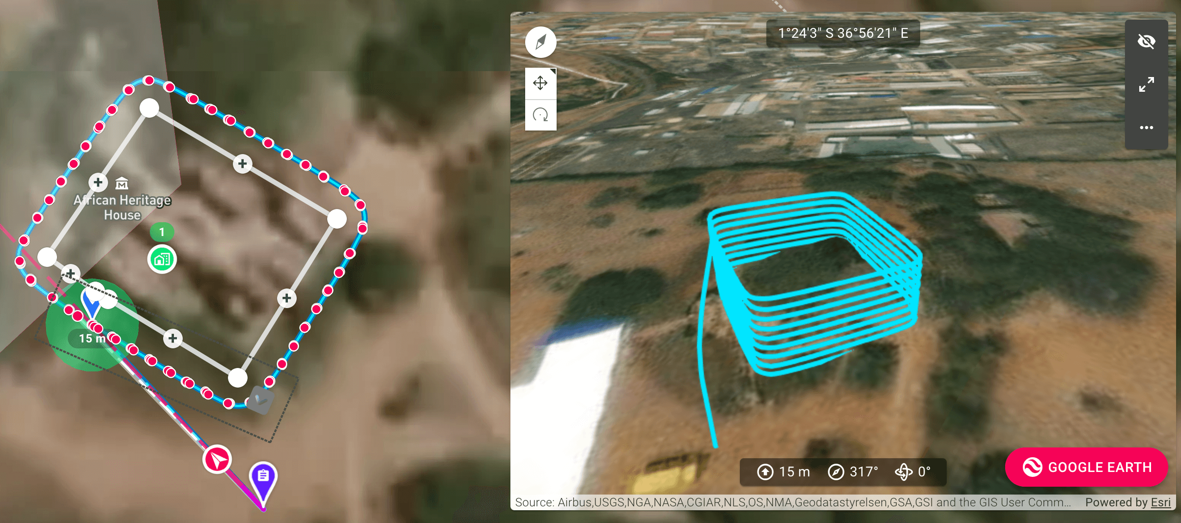
- High Precision and Accuracy: Drones equipped with advanced GPS and imaging technology can capture highly precise and accurate aerial maps. These maps are essential for applications that require detailed spatial data, such as land surveying, urban planning, and environmental monitoring.
- Rapid Data Collection: Drones can cover large areas quickly, collecting data much faster than traditional ground-based methods. This rapid data collection capability is invaluable for projects with tight deadlines or for monitoring changes over time, such as construction progress or agricultural growth.
- Cost-Effective: Using drones for aerial mapping is often more cost-effective than traditional methods, which may require manned aircraft or extensive ground surveys. Drones reduce labor costs, equipment rental fees, and other associated expenses, making them a more affordable option.
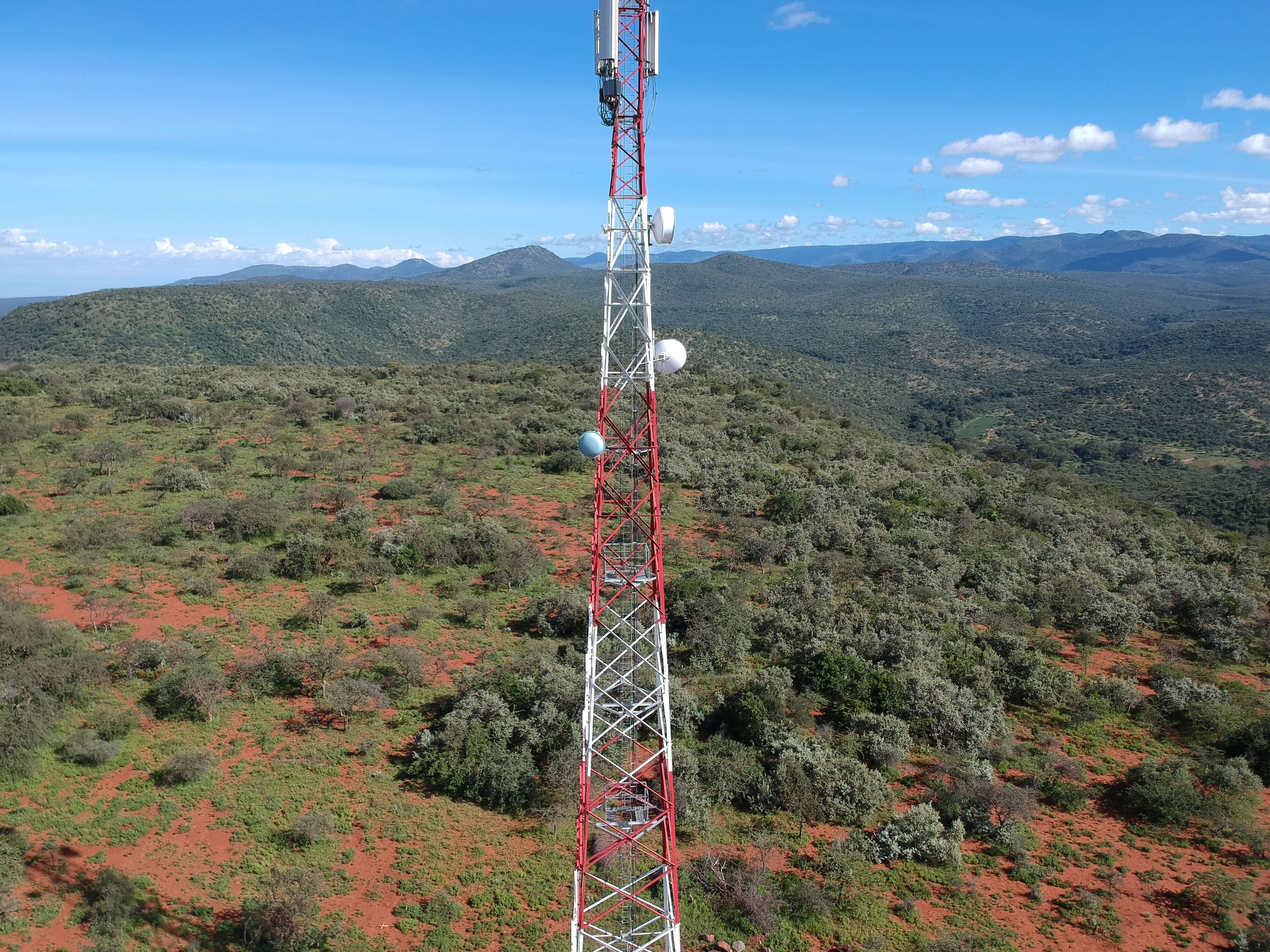
- Enhanced Safety: Drones eliminate the need for human surveyors to work in hazardous environments, such as rugged terrains, high altitudes, or disaster-affected areas. This enhances the safety of data collection operations and reduces the risk of accidents.
- Versatility in Applications: Drone aerial mapping is versatile and can be applied to a wide range of industries. Some of the key applications include:
- Agriculture: Monitoring crop health, managing irrigation, and assessing field conditions.
- Construction: Site surveying, progress monitoring, and creating 3D models of construction projects.
- Environmental Management: Tracking wildlife, monitoring deforestation, and managing natural resources.
- Urban Planning: Creating detailed city maps, planning infrastructure, and managing land use.
- Disaster Response: Assessing damage, planning rescue operations, and managing disaster recovery efforts.
- High-Resolution Imaging: Drones are equipped with high-resolution cameras that can capture detailed aerial images. These images can be processed to create orthomosaic maps, 3D models, and digital elevation models (DEMs), providing comprehensive visual data.
- Real-Time Data Access: Many drones are capable of transmitting data in real-time, allowing for immediate analysis and decision-making. This real-time capability is crucial in scenarios that require quick responses, such as emergency management and security operations.
- Environmental Impact: Drones have a lower environmental impact compared to traditional mapping methods. They are typically battery-powered and produce less noise and air pollution, making them a more sustainable option for aerial data collection.
- Scalability: Drone aerial mapping is scalable and can be adapted to projects of various sizes and complexities. Whether it’s a small land parcel or a large geographic area, drones can efficiently handle the mapping requirements.